
Appearance
Layer Repository
The Layer Repository is where you add or remove layers from your current workspace. It contains all the layers available to you, grouped into categories.
Opening the Layer Repository
Click the Add Layers button () in the layers panel toolbar, or right-click a layer and select Add new layers.
Repository Layout
The dialog has a dual-pane layout:
- Left pane — "Available Layers": Layers you can add to your workspace
- Right pane — "Workspace Layers": Layers currently in your workspace
- Centre buttons: Transfer layers between the two panes
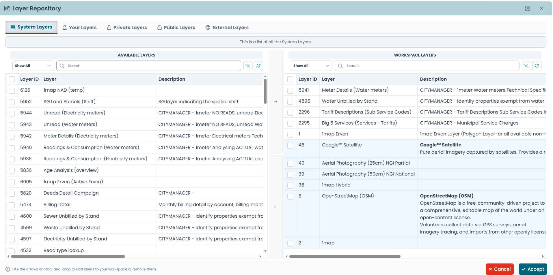
Transferring Layers
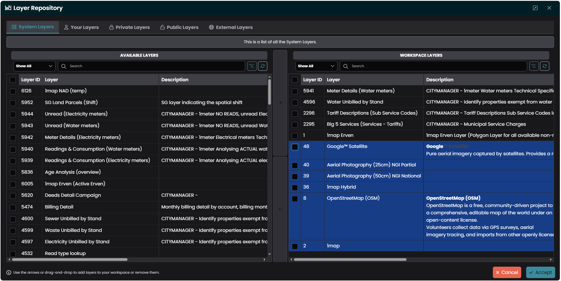
- Select one or more layers (checkboxes) and click the right arrow () to add them to your workspace
- Select workspace layers and click the left arrow () to remove them
- Double-click a row to transfer it immediately
- Drag and drop one or more selected rows from one pane onto the other
Filtering
Each pane has:
- A layer type filter dropdown to narrow by type
- A search field to filter by name
- A refresh button to reload the list
Layer Categories
The repository is organised into five tabs:
System Layers
Layers provisioned and configured by your system administrator. These are the standard data layers available to your organisation.
Your Layers
Layers that you have created yourself (e.g. imported or configured external layers).
Private Layers
Layers that have been shared within your account but are not publicly accessible.
Public Layers
Layers that are available to all users across the system.
External Layers
Connect to external map services from third-party providers. Supported service types:
| Type | Description |
|---|---|
| WMS | Web Map Service — raster map tiles |
| WMTS | Web Map Tile Service — cached tile sets |
| WFS | Web Feature Service — vector features |
| XYZ Tiles | Standard tile URLs (e.g. OpenStreetMap) |
| GeoJSON | GeoJSON feature collections |
| KML | Keyhole Markup Language files |
| GPX | GPS Exchange Format tracks |
| TopoJSON | Topologically-encoded GeoJSON |
| MVT / PBF | Mapbox Vector Tiles |
| ArcGIS REST | Esri ArcGIS REST services |
Adding an External Layer
- Go to the External Layers tab
- Click Add External Layer
- Enter the Service URL
- Select the Service Type from the dropdown
- Optionally enter Username and Password for authenticated services
- Click Get Capabilities (or Add Layer / Discover Layers depending on the service type)
- For services that return multiple layers, select the ones you want from the discovered layers table
- Click Add Selected Layers
External layers you create can be edited or deleted from the External Layers tab.
After Adding Layers
Click Accept to apply your changes. The new layers will appear in your layer tree and on the map. Remember to save your workspace if you want to keep the changes.